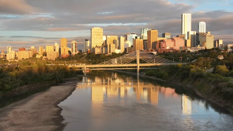
The Labour Day long weekend brought a taste of what’s coming for the end of this week and next week. Daytime highs were in the mid to upper teens Saturday through Monday, and although we’ll get a couple days in 20s Tuesday/Wednesday, the back half of the long-range forecast is packed with teen temperatures. The rain mostly avoided the Edmonton region on Monday. There were a couple of scattered light showers, but the heavier and steadier rain hit southern and eastern Alberta with roughly 20 to 60 mm and parts of southern Alberta reported over 100 mm. In the Edmonton region, we get a slight chance of a shower or thunderstorm this evening, a better chance for some evening or late-night showers Wednesday and then a chance for some showers Thu night and Friday. That said, it doesn’t look like we’re in for any heavy, steady rain this week. We have a short-lived upper ridge rippling across the province Tuesday/Wednesday and that should keep skies fairly sunny through the daytime hours and help boost afternoon highs into the 20s. A cold front sweeps through on Thursday as the ridge collapses, so we’ll be back to the mid to upper teens on Thursday with gusty wind. Friday’s high will be in the 11 to 15 C range as some cooler air sinks in and there’s a decent chance of some showers on Friday. Skies will clear out a bit for the coming weekend, but temperatures will remain on the cool side. Morning lows are expected to be in the 4 C or 5 C range Saturday/Sunday in the city (closer to 0 C outside the city). Afternoon highs will be in the 15 C range. The long-term average high for Sept. 8-15 is 18 C, so we’ll be above average Tuesday/Wednesday and then below average for Thursday-Saturday. Looking LONG range: no significant warming trend is on the horizon as daytime highs should be in the 14 to 19 C range through next week. Here’s the forecast for Edmonton and area: Today - Sunny with some afternoon clouds. High: 22 Tonight - 30% chance of an evening shower or thunderstorm. Clearing overnight. 9pm: 17 Wednesday - Sunny in the morning. Increasing afternoon cloud. 40% chance of evening or late-night showers. Morning Low: 10 Afternoon High: 24 Thursday - Mix of sun & cloud. 40% chance of late-day showers. Wind NW 20 gusting 40-50 km/h. Morning Low: 12 Afternoon High: 17 Friday - Mostly cloudy. 40% chance of showers. Morning Low: 10 Afternoon High: 13 Saturday - Partly cloudy. Morning Low: 4 Afternoon High: 14 Sunday - Partly cloudy. Morning Low: 4 Afternoon High: 16