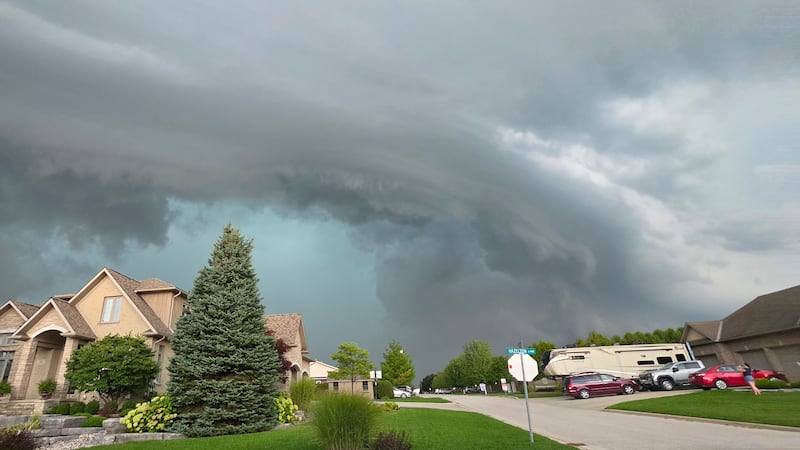
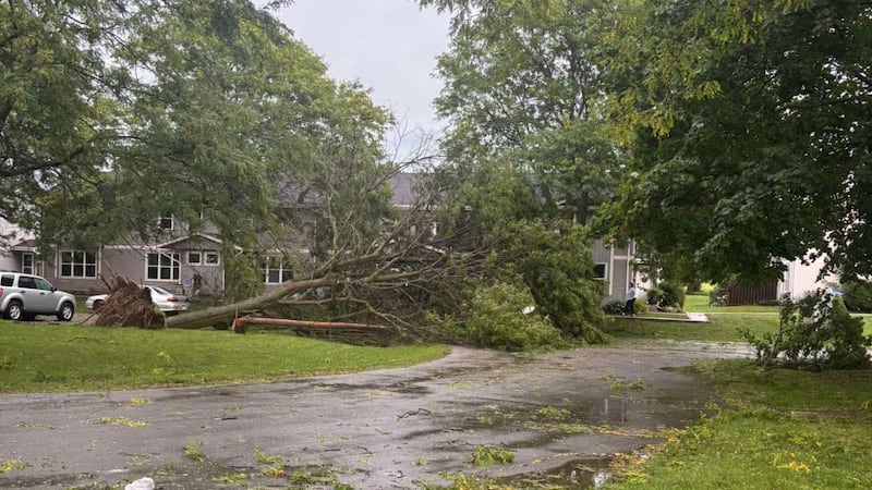
A significant shift in the weather pattern across the west will bring very unsettled weather for the Labour Day long weekend. A low-pressure system locked in over Alberta Wednesday, and there was widespread rainfall overnight and early Thursday. By Thursday morning, thunderstorms started to develop from Highway 3 in the south to areas north of Highway 16. Rain will wrap around that low on Thursday and drive heavy accumulations against the northern portions of the Rockies and along the northern Alberta-B.C. border. A yellow-level rainfall warning has been issued west of Edmonton—including in Grande Prairie—with Environment and Climate Change Canada (ECCC) explaining, “Rain will begin this morning and persist until Friday night, with total rainfall amounts of 50 to 80 mm expected. Some localities may reach 100 mm.” Southern Alberta will experience some scattered showers Thursday through Saturday and a notable drop in temperatures for the start of the weekend. The daytime high in Calgary will be 13 C compared to the average high of 20 C. A second wave of intense rain is expected for the end of the long weekend, but this time the heaviest accumulations will be in southern Alberta. Calgary is expecting between 20 and 30 millimetres of rain Saturday and another 15 to 20 millimetres Monday, but some models are suggesting those totals could be even higher. Temperatures will start to moderate by the middle of next week.