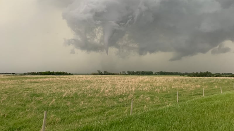
Two weak tornadoes from a series of storms on Aug. 30 have added to the total number of twisters in an extremely active 2026 tornado season in Saskatchewan. New data from the Northern Tornadoes Project (NTP), a research team from Ontario-based Western University, confirms both late season tornadoes touched down in the Wawota area. The first is described as a “vortex-funnel cloud aloft west of Wawota,” but NTP said the view of the surface below was unclear. No damage was reported, but satellite images revealed a path of crop damages in the area. It’s been given the default intensity rating of EF-0. The second new tornado was near Vandura, about 18 kilometres northwest of Wawota. Satellite data shows the tornado touched down about 40 minutes after the first, despite trees obscuring the surface below in witness video of the funnel cloud. It was on the ground for less than a kilometre, and was also given the EF-0 default. The new confirmations are in addition to a previously-verified tornado at Maryfield the same day. Updated data did reveal a path of crop damages, with the tornado on the ground for just under three kilometres. The preliminary rating of EF-0 default was unchanged. Alongside the two added tornadoes in Saskatchewan, NTP has also accounted for two new tornadoes in Manitoba and one in Alberta, also from Aug. 30. Saskatchewan’s count of 39 tornadoes as of Sept. 24 makes 2026 by far the busiest tornado season since NTP began collecting data in 2017. The high count was partially caused by major storms on July 10 and July 11. The strongest tornado of the season was an EF-3, which touched down near North Portal and stayed on the ground for 32 kilometres. Tornadoes in Saskatchewan by year (NTP) With files from David Prisciak and Sierra D’Souza Butts