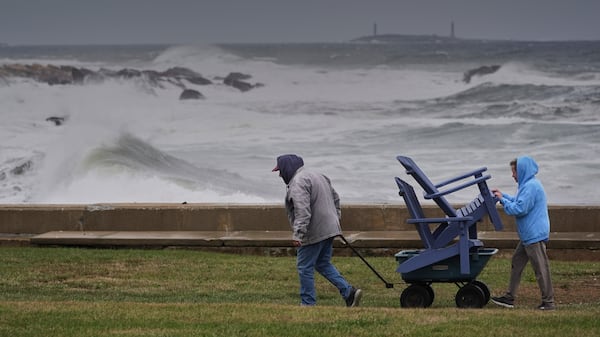
The end of May will bring damp weather, wind and below-seasonal temperatures to Southern Quebec. The normal high for the Montreal area at this time of year is 22 degrees Celsius. However, Friday’s high is expected to land at 18 degrees. Environment and Climate Change Canada (ECCC) meteorologist Peter Kimbell says it’s the result of what’s called an “omega block.” The weather phenomenon is categorized by areas of high pressure - or warm weather - which become trapped between areas of low-pressure - or rain systems - on either side. “There’s a big ridge of high pressure over the prairies, and then the winds over Quebec and east of the omega block are straight out of the north,” Kimbell explains. In simpler terms, that means southern Quebec can expect to see significant amounts of rain. ECCC has issued a yellow rainfall alert for areas including Sherbrooke, Saint-Hyacinthe, Trois-Rivieres and Shawinigan. The agency warns that some areas could receive as much as 50 millimetres of rain between midday Friday and early Saturday. Roughly 20 millimetres of rain are forecasted for Montreal. “In Montreal so far this month in May, we’ve had about 55mm of rain so far this month. [...] The normal rainfall for May is around 85,” Kimbell says, adding that by the end of the weekend, we could well be caught up. A weather statement noting winds of up to 80 kilometres per hour has also been issued for the Montreal area. That means local power outages could be possible, according to ECCC. However, a break could come on Saturday, with mainly sunny skies and a daytime high of 19 degrees Celsius. The mercury could then reach a high of 21 degrees Celsius on Sunday, with a return to showers by Sunday afternoon. “The longer-range forecast hints at something very similar next weekend. So we could have a first weekend of June that is a wet start and then cool,” Kimbell tells CTV. ECCC says it’s too soon to tell whether cooler temperatures and damp weather will be the pattern this summer. Kimbell says the picture will become clearer in June.