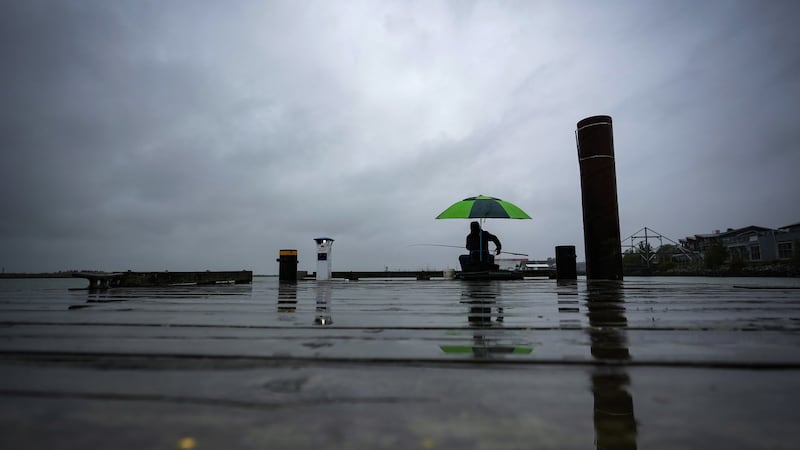
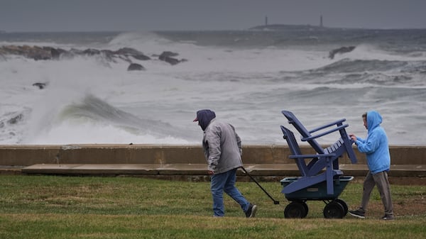
After a week of beautiful spring weather that felt like summer, the long weekend is going to be a rainy one. Environment and Climate Change Canada has issued a Severe Thunderstorm Watch for Montreal and surrounding areas. Rainfall totals are estimated at around 8mm in Montreal, falling late day Friday, expecting to wrap up before Saturday morning. Saturday will bring more rain, estimating a total of around 14mm, with yet again a risk of thunderstorms later in the day day. Expect a daytime high of 22 degrees Celsius, but feeling like 28 degrees with the humidex. Sunday we could see an additional 6mm of rain to wrap up the weekend, with a high 16 degrees. Another part of the long-range weather story is a drop in our temperatures which begins on Monday. The week will begin with cloudy skies and a cool 11 degrees as our daytime high. That is 8 degrees below normal for this time of the year. Tuesday is expected to be cloudy and 13 degrees. Wednesday we will hold on to cloudy conditions, and our temperatures will rise a little closer to seasonal, with a high of 16 degrees. At this time, there’s a 40% of showers to wrap up the week on both Thursday and Friday, and once again our temperatures will remain below average.