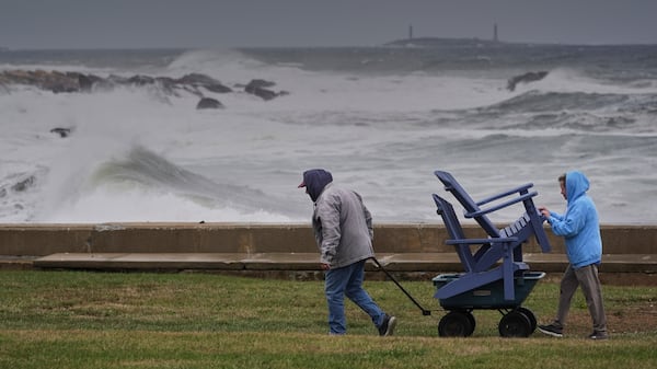
It’s officially spring, but after a spattering of flurries on Tuesday, some Quebecers may be wondering when the temperatures will start to reflect that much-anticipated change of season. The weather so far has brought snow, freezing rain and several days below zero to the Greater Montreal area. In fact, on April 7, Montreal was 10 degrees Celsius below the average temperature for that date, with a high of -1 degree Celsius. The rest of the week is looking warmer temperature-wise, but the forecast admittedly shows some fluctuation. Wednesday, Montrealers should see a daytime high of 14 degrees Celsius with a mix of sun and clouds. By Friday, the mercury is expected to dip to a high of 7 degrees Celsius, one degree below the seasonal norm, along with six mm of rain. Fast forward to Sunday, and the city should start experiencing a warming trend with a high of 12 degrees Celsius. Monday next week should bring a high of 19 degrees Celsius, 11 degrees above average - less than a week after recording a day that was 10 degrees below normal. There are a few days of back-to-back rain on Sunday evening, Monday, Tuesday and Wednesday, so keep an umbrella or raincoat close. So far, Environment and Climate Change Canada’s (ECCC) predictions for this month have been accurate, and so, while it hasn’t felt much like spring, it seems warmer weather is on the way in addition to more daylight - the sun is now setting past 7:30 p.m. For those hoping for some heat, the Farmer’s Almanac is predicting some record-breaking weather this summer.